3D Cartographic City Diorama
A complex parametric scene graph prompt for generating high-end 3D urban relief maps with monumental typography integrated into the architecture.
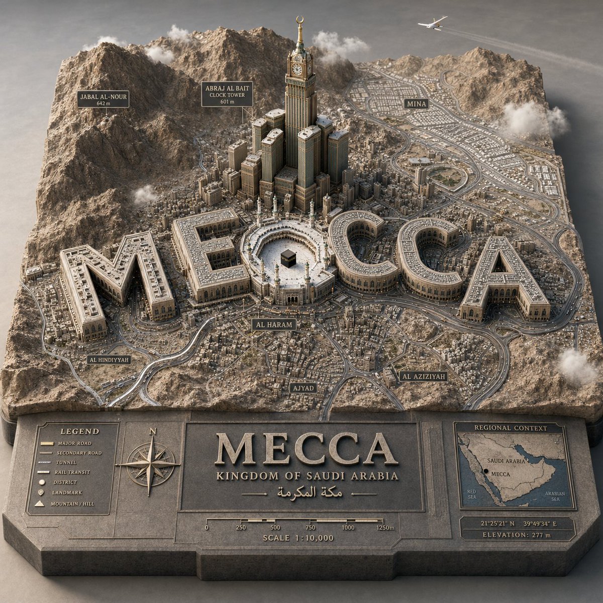
프롬프트
PYTHON_SCENE_GRAPH :: PARAMETRIC_CITY_RELIEF class Variables: city = "{argument name="city" default="[CITY]"}" city_name_text = "{argument name="city name" default="literal city name from input"}" region_context = "국가, 지형, 기후, 문화, 도시 정체성 추론" topography = "산, 강, 해안선, 평원, 섬, 사막, 언덕 추론" urban_grid = "지구 밀도, 도로, 대중교통 경로, 도시 패턴 추론" landmarks = "landmark_set(city) 추론" signature_core = "가장 상징적인 중심 랜드마크 또는 공공 공간 추론" style = "럭셔리 3D 지도 도시 모델" class TerrainSlab: form = "두꺼운 돌출형 컷아웃 지도 베이스" surface = Variables.topography edges = "각인된 제목 패널, 범례, 나침반, 축척, 삽입 지역 지도" material = "무광 석재/석고/지도 모델 재질" class CityTypography: text = Variables. city_name_text form = "기념비적인 3D 문자" function = "각 글자는 거주 가능한 건물 매스" placement = "도시 지도에 통합, 공중에 떠 있지 않음" rule = "단어는 항공 뷰에서 읽을 수 있어야 함" class UrbanLayer: roads = Variables.urban_grid districts = "인근 지역 및 밀도 구역 추론" landmarks = Variables.landmarks core = Variables.signature_core labels = "도시 지리에서 장소 라벨 도출" class Atmosphere: camera = "높은 3/4 매크로 뷰" lighting = "부드러운 프리미엄 스튜디오 주광" details = "차량, 구름, 항공기, 나무, 적절한 경우에만 사람 포함" def render(): return """ {argument name="target city" default="[CITY]"}를 돌출된 지형 지도 디오라마로 렌더링합니다. 도시 이름은 기념비적인 건축물이 되며, 추론된 지형, 랜드마크, 라벨, 도로 및 아틀라스 스타일의 지도 세부 정보로 둘러싸여 있습니다. """
기계 번역 — 실제 결과물을 만든 것은 원문 프롬프트입니다.
원문 프롬프트
PYTHON_SCENE_GRAPH :: PARAMETRIC_CITY_RELIEF class Variables: city = "{argument name="city" default="[CITY]"}" city_name_text = "{argument name="city name" default="literal city name from input"}" region_context = "infer country, terrain, climate, culture, urban identity" topography = "infer mountains, rivers, coastlines, plains, islands, deserts, hills" urban_grid = "infer district density, roads, transit corridors, urban pattern" landmarks = "infer landmark_set(city)" signature_core = "infer most symbolic central landmark or public space" style = "luxury 3D cartographic city model" class TerrainSlab: form = "thick raised cutout map base" surface = Variables.topography edges = "engraved title panel, legend, compass, scale, inset regional map" material = "matte stone/plaster/cartographic model material" class CityTypography: text = Variables. city_name_text form = "monumental 3D letters" function = "each letter is an inhabitable building mass" placement = "integrated into city map, not floating" rule = "word must remain readable from aerial view" class UrbanLayer: roads = Variables.urban_grid districts = "infer neighborhoods and density zones" landmarks = Variables.landmarks core = Variables.signature_core labels = "derive place labels from city geography" class Atmosphere: camera = "elevated three-quarter macro" lighting = "soft premium studio daylight" details = "vehicles, clouds, aircraft, trees, people only if appropriate" def render(): return """ Render {argument name="target city" default="[CITY]"} as a raised terrain-map diorama where the city name becomes monumental architecture, surrounded by inferred geography, landmarks, labels, roads, and atlas-style cartographic details. """