Colorize Historical Aerial Photo
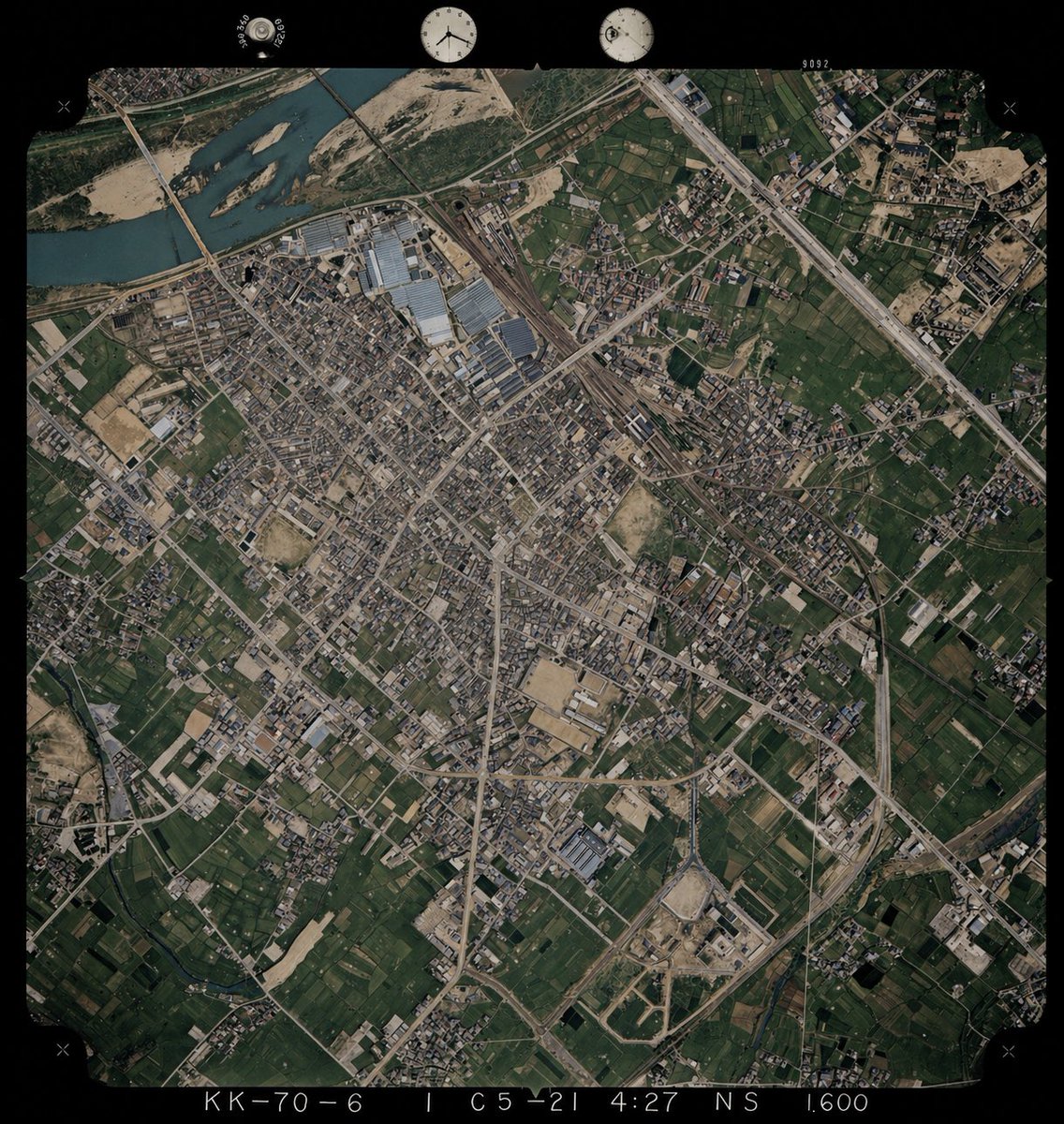
This prompt turns a black-and-white aerial photograph into a plausible colorized version using another aerial image as a color reference, useful for historical map and geography visualization.
프롬프트
REFERENCE_0 을 기본 이미지로 사용하여, 흑백 역사 항공 사진의 원래 구도, 각도, 축척, 필름 테두리, 가장자리 표시 및 모든 지리적 구조를 그대로 유지하면서 컬러화하십시오. REFERENCE_1 은 위에서 내려다본 지표면의 자연스러운 색상을 확인하기 위한 색상 참조 가이드로만 사용하십시오. 기존 사진의 레이아웃과 지형 세부 사항은 변경하지 말고, 4가지 주요 지표면 유형에 대해 자연스러운 색상을 추론하여 적용하십시오: 강물은 차분한 청록색, 식생 및 농경지는 다양한 짙은 녹색, 나대지/모래 및 건설 지역은 황갈색, 도로/건물/산업용 지붕은 차분한 회색에서 연한 갈색으로 표현하십시오. 현대적인 위성 사진 스타일이 아닌 사실적인 기록용 항공 사진 느낌을 유지하고, 채도는 약간 낮추며, 미묘한 대비를 주어 전체 장면의 색감이 일관되도록 하십시오.
기계 번역 — 실제 결과물을 만든 것은 원문 프롬프트입니다.
원문 프롬프트
Using REFERENCE_0 as the base image, colorize the monochrome historical aerial photograph while preserving the exact original framing, angle, scale, film border, edge markings, and all geographic structures. Use REFERENCE_1 only as a color-reference guide for plausible land-surface colors seen from above. Keep the old photo’s layout and terrain details unchanged, but infer naturalistic colors for 4 major surface types: river water in muted blue-green, vegetation and farmland in varied dark greens, bare soil/sand and construction areas in tan-beige, and roads/buildings/industrial roofs in subdued gray to light brown. Maintain a realistic archival aerial-photo look rather than a modern satellite style, with slightly restrained saturation, subtle contrast, and consistent coloring across the whole scene.