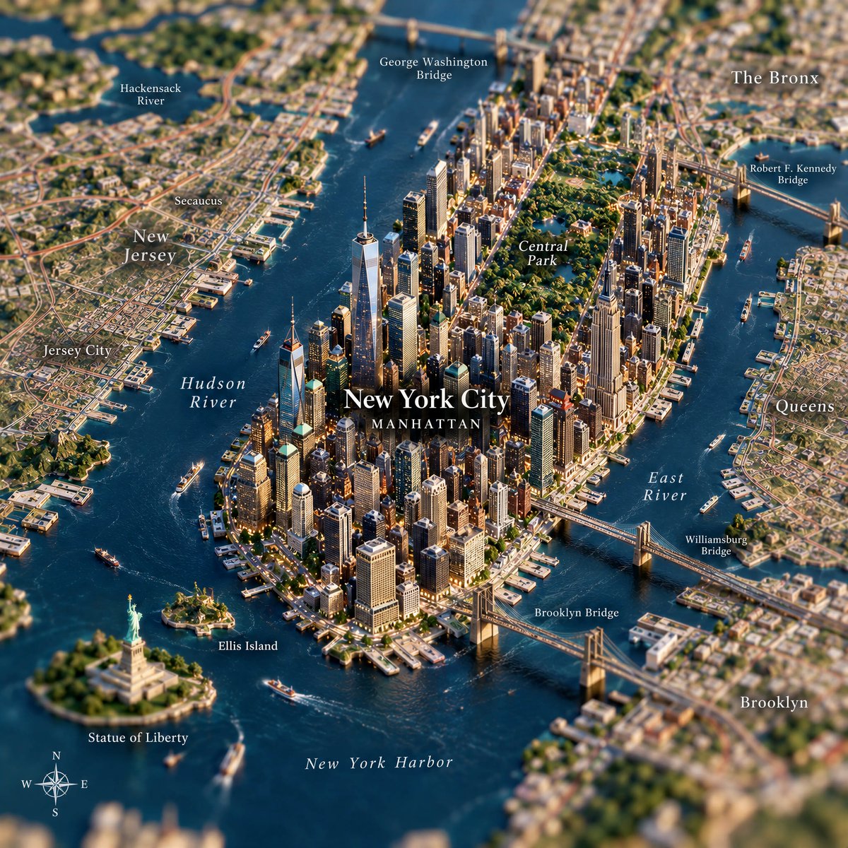
Miniature City Map Diorama
观看3,694
点赞48
评论5
分享4
收藏115
引用1
Create a highly detailed 1:1 square image using GPT Image 2.5.

The main subject is a realistic top-down geographic map accurately showing the terrain, coastline, rivers, roads and surrounding region of [COUNTRY], with natural and believable map labeling.

At the real geographic location of [CITY], a miniature 3D city rises organically from the map surface, like a premium architectural diorama physically emerging from the map.

The miniature city should include the most recognizable features of [CITY], such as:

• iconic architecture
• important natural landmarks
• the characteristic city skyline
• local cultural elements
• recognizable regional details

All elements must feel naturally connected to the underlying map, as if the city is growing directly out of it, rather than being placed on top.

Keep the geography believable and visually coherent.

Style:
ultra-realistic miniature photography,
high-end collectible diorama,
cinematic macro photography,
realistic materials,
fine surface textures,
strong depth and scale,
premium travel editorial aesthetic.

Use shallow depth of field:
[CITY] should remain extremely sharp and detailed,
while the surrounding map gradually becomes softer and slightly blurred.

Use soft studio lighting, realistic natural shadows, elegant composition and subtle cinematic contrast.

The result should feel like a luxury macro photograph of a real handcrafted miniature city built directly into a geographic map.

MAP LABELS:
Use labels appropriate to [COUNTRY].
For example, if the country is Japan, use Japanese geographic labels.
Do not introduce unrelated languages.

OPTIONAL DETAILS:
[LANDMARK 1]
[LANDMARK 2]
[LANDMARK 3]
[LOCAL CULTURAL ELEMENT]
[NATURAL LANDMARK]


