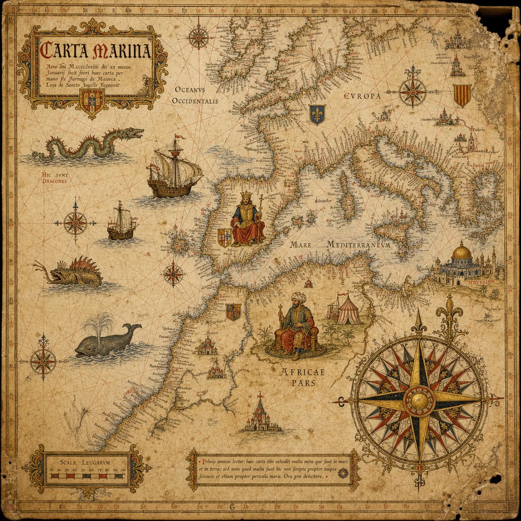
15th-Century Antique Portolan Chart
views159
likes2
comments0
shares0
bookmarks0
quotes0
Translated
Antique portolan chart of {argument name="region" default="[REGION]"}, 15th-century style. Aged vellum, red/black/gold rhumb line network, hand-lettered Latin coast names, sea monsters, caravel ships, compass rose cartouche, gothic title scroll. 1:1.
Machine-translated — the original is what produced this result.


